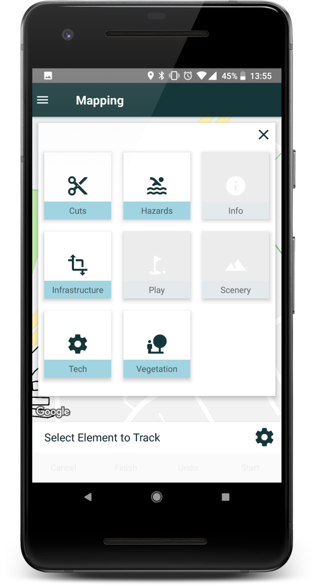
When you want to map something on your course you need to select a layer. Choose between Cuts, Hazards, Info, Infrastructure, Play, Scenery, Tech and Vegetation.
In each layer you will find different elements that you can map on your course. You can select all the layer you would like at the same time (the layer turns blue when selected).

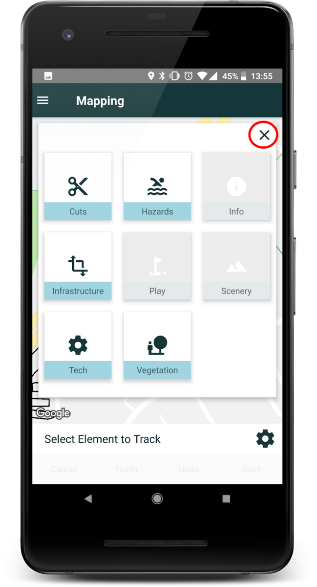
When you are done selecting Layer press the [X-button] in the top right corner.

The elements in each Layer are:
Cuts:
Fairway, First Cut, For green, Green, High rough, Rough, Semi rough, Tee cut and Winter green.
Hazards:
Biohazard, Bunker, Ground under repair, Hazard red, Hazard yellow, Out of bounds, Waste area, Water lake and Water stream.
Info:
Compass, Distance marker, Do not enter, Grid line, Icon, Next tee, Sponsor sign and Text label.
Infrastructure:
Building, Parking, Path and Road.
Play:
Green distance, Green t point, Pin position, Playline position and Tee.
Scenery:
Bridge, Ditch, Dyke, Fence, Hollow, Mound, Mountain, Sea, Stone and Stone wall.
Tech:
Cable, Drainage tube, Electric box, Gas pipe, Hydrant, Sprinkler, Water pipe, Waterbox and Well.
Vegetation:
Bush, Bushes, Flowers, Forest, Heather, Hedge, Tree and Tree line.

Leave A Comment?